Wildfires are growing more frequent and destructive, costing lives, displacing communities, and causing billions of dollars in economic and environmental damage. Despite advancements in fire management, current detection and monitoring systems remain reactive, often identifying fires only after they have spread beyond control. As of August 2025, nearly 4 million acres burned across the United States in more than 44,000 fires. The challenge is no longer just how to fight fires, but rethinking how we detect, manage, and recover from them.
A new vantage point for wildfire management
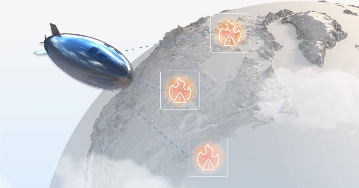
At Sceye, we are pioneering High Altitude Platform Systems (HAPS) in the stratosphere, above weather and commercial aviation, yet far closer than satellites – taking advantage of physics. From this altitude of around 55,000-65,000 feet, Sceye HAPS deliver real-time environmental monitoring with a level of persistence and resolution that has never before been possible.
Sceye is the first company to close the power loop in the stratosphere, meaning we have demonstrated the ability to fly a solar-powered HAPS through the night while staying at altitude and over an area of operation. This breakthrough unlocks an entirely new layer of infrastructure – a stationary platform below orbital altitude.
Unlike drones, which are constrained by battery life, or satellites, which pass overhead intermittently, Sceye HAPS can stay over the same area for weeks or months at a time and approximately 1,800 times closer to Earth than geostationary satellites. For wildfire management, this persistence is a game changer.
Purpose-built solutions for wildfire awareness
Sceye HAPS are designed to host multiple payloads that can deliver continuous wildfire awareness, offering a persistent, real-time understanding of conditions across vast landscapes before, during, and after a fire. Operating as instant infrastructure in the sky, HAPS carry high-precision infrared, hyperspectral, radar, optical, and communications payloads engineered specifically for environmental monitoring and emergency response.
From our unique vantage point, Sceye can:
- Detect ignitions within minutes, reducing the likelihood that small fires escalate into catastrophic events
- Maintain continuous, high-resolution tracking of fire behavior, supporting faster, better-coordinated response and keep personnel out of harm’s way
- Generate pre-fire topographic and environmental mapping, establishing a baseline of terrain, vegetation, and fuel conditions to improve risk modeling and preparedness
- Preserve communications and situational awareness when terrestrial networks fail, keeping responders connected during critical operations
- Support post-fire restoration and recovery, including burn assessment, erosion risk analysis, and long-term environmental monitoring
By staying up for an entire fire season, Sceye HAPS can provide uninterrupted visibility across tens of thousands of square miles to offer the persistent intelligence required to move wildfire management from reactive to proactive.
Proven capabilities in the stratosphere
Sceye has already demonstrated the advantages of real-time monitoring and high-capacity connectivity from the stratosphere through a series of government, research, and community deployments.
- Received a NASA SBIR award in partnership with Spectral Sciences to advance climate monitoring and identify heat signatures, fire behavior, chemical composition, and other climate-related data from the stratosphere. [Read more in SpaceNews]
- Successful hyperspectral imagery with the U.S. Geological Survey [Read more in Reuters]
- World’s first methane leak monitoring from the stratosphere with the New Mexico Environment Department and the EPA [Read more in FastCo]
- Mobile broadband connectivity test with the Navajo Nation to connect the unconnected [See more on CBS]
What’s next?
Our goal is to transform how we detect, manage, and fight wildfires. Currently, we are demonstrating that our HAPS and payload can deliver the precision and reliability that other wildfire technology cannot. This includes reducing detection time from hours to minutes and improving accuracy across diverse terrain and atmospheric conditions. With each test flight, we are increasing our endurance and proving that a solar-powered platform can hold position in the stratosphere for an entire fire season.
In parallel, we are collecting and labeling extensive datasets to train and validate AI models for real-time visual monitoring and smoke characterization. These efforts all support our path toward pre-commercial flights in 2026 and commercial flights in 2027. By providing continuous visibility and critical connectivity when other systems fail, we are working to reduce wildfire losses and strengthen climate resilience at a regional and global scale.